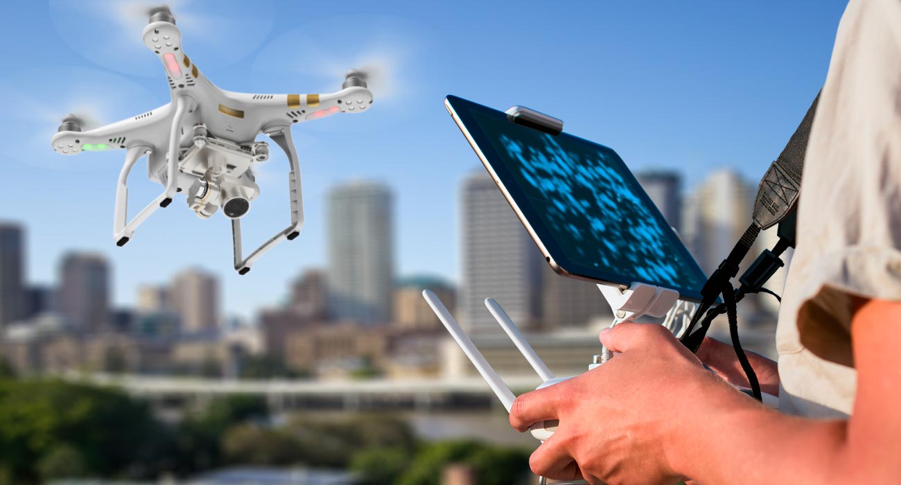
UAV Pilot
Wondering where to learn how to pilot a drone?
Come on board….at Rekun Drone.
Be it a professional or recreational UAV piloting we have courses that suits your need and all
our courses are in accordance with FAA regulations.
Besides ‘Certificate A Drone Training’ for Drone Training courses and Flight Proficiency,
we have tons of simulation videos and archived lectures, to aid you with a smooth flight.
We have competent and efficient coaches to train you hands-on.
Mapping and 3D Modeling
It is always exciting to fly a drone, but it is even more exciting when used for work.
One of the emerging fields in this new millennium is Mapping and 3D mapping. It is
basically harnessing the capabilities of drone imagery to convert the captured data into
maps and 3D models to bolster one’s business. But to do so, one needs to be updated with
a thorough understanding of a plethora of hardware and software protocols.
Our courses are well designed to deal with all possible situations; because while you will be
flying high, we make it our responsibility to bring you safely back to the ground.
So, one not only needs to be on top of theoretical technology but also of the real-scenario
plays.
We will also give you a comprehensive insight into aerial photography, videography,
photogrammetry and orthomosaic photography as well.
About Our Course
What do we teach here?
Besides we fortify our courses with various real-life simulations and case studies. So, when
you finally step out with our certification, you would already start out with a boatload of
real-run experience.
Who are the beneficiaries of this course?
Class Curriculum
Preflight
Personal Safety (3:56)
UAV & Job Site Safety (6:07)
Theory and Concepts
Photogrammetry (7:22)
Height (AGL) and Field of View (5:43)
3D Modeling / Structure Scanning (4:31)
Increasing Accuracy – Ground Control Points (6:20)
Software and Hardware
Mapping Hardware (12:28)
DJI Platform – Pros & Cons (4:54)
Online Processing – Maps Made Easy Review (10:34)
Online Mission Planning and Processing – Drone Deploy Review (12:05)
Online Processing – Skycatch Review (4:04)
Intro to Self-Processing – Photoscan and Pix4d (12:13)
Comments About Applications (2:02)
FAQs
When do I start?
Our courses start whenever you are ready and available – you are the priority here. This
online course is self-paced. Just be sure to use up the course credits within a stipulated
period as per industry regulations for valid certifications.
What are the benefits?
Do I need to bring my own drone? Is it any one?
Learning DJI/3DR products opens this kind of opportunities. If it can take quality pictures,
we encourage that and provided it can accommodate the basic minimum required for you to
learn.
Do I receive support beyond course hours?
We have fully functional and integrated private forums that connects you with our teachers,
our panel of industry experts, your current batch-mates, and our alumnus.
Can I refer to the online resources after my completion?
Of course; once you are with us, you will always be a part of us. Your personalized access
will be active throughout your lifetime.
Is the course fee refundable?
Yes, for any reason you’re dissatisfied with our courses or programs, please contact us for
the possibility of a refund.