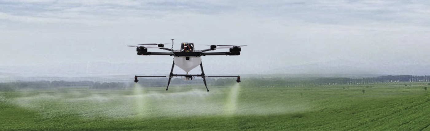
Blight. Drought. Contamination. Farmers are used to walking their fields for hours, investigating them inch by inch for signs of stress and disease. This traditional, labor intensive method is time-consuming and inefficient. With the Rekun Drone, farmers can comprehensively evaluate their land and create maps that will help them manage their crops more effectively. Farmers can take evaluations to the next level by assessing the entirety of their fields with our multi-spectral camera payload. Cutting off potential problems before losing an entire crop
UAVs along with bundled-up IT support and suggested satellite imagery and geospatial tools is revolutionizing environment protection and crop science resulting in healthier and increased yields. A network of appropriate drones can help you predict spread of crop-diseases to help aid you in your evasive action.